Baronie of Clancally (1609 Bodley Map): Difference between revisions
No edit summary |
No edit summary |
||
| Line 1: | Line 1: | ||
[[Category:Map]][[Category:Bodley Maps]] | [[Category:Map]][[Category:Bodley Maps]] | ||
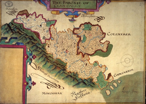
[[File:Baronie of Clancally.jpg|600px|Bodley Map of Clankelly]] | [[File:Baronie of Clancally.jpg|thumb|600px|1609 Bodley Map of Clankelly (Click to Enlarge)]] | ||
